AtlasFuture MovementsMischa Gubler, Jan Güntensperger, Jos Auf der Maur, and Laura Elsener
The region between Regensdorf, Rümlang and Zurich is in a special location. It is shaped by agriculture and the nature reserves around the Katzensee, but also by the urban, steadily growing city of Zurich. How do these different influences affect the place, and how will people deal with them in the future?
Population Development
The north of the city of Zurich, like the rest of Switzerland, experienced a transformation from an agricultural society to an industrial region to a service society. For a long time, the region was dominated by farmers, but it was not until the end of the 19th century that the regions around the city of Zurich and its outlying districts also began to undergo industrial change, for example with the relocation of heavy industry to Oerlikon, among other places.
This change in the economy also caused the cities to grow. As early as 1894, there was talk of the “workers’ housing question”, in other words the need for more housing for workers and their families. The settlement areas started to gradually encroach on the still “free” agricultural areas. The old centres of villages such as Watt or Unteraffoltern disappeared in the middle of the urban landscape.
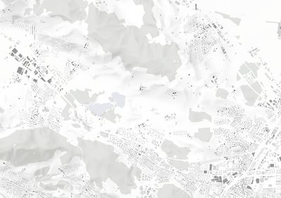
 Built before 1850
 Built between 1850 and 1971
 Built after 1971
 Built before 1850
 Built between 1850 and 1971
 Built after 1971
Population growth in the region is still continuing. The Spatial Planning Act of 1978 put an end to the large growth of settlement areas in the agricultural areas, but the resulting internal densification is increasing the pressure on the remaining agricultural areas as local recreation zones.
Mobility
Different types of paths cross the recreation area. Within the area, majorly four types of movement are existing. The highway and the streets zone and shape the landscape. Public transport stations at the edges connect the surrounding places with each other places but do not make its way in the recreation area itself. Designated routes for cycling and walking give you the opportunity to enjoy the nature.
Depending on the type of movement, the recreation area is reachable within 15 minutes from further away. With the car you can get in 15 minutes from Wettingen, next to Baden, to the recreation area. Especially at the weekends or on a Wednesday afternoon, people enjoy a trip to the Katzensee. By walking or cycling the reachable area within 15 minutes is much smaller. However, it is clear that the main users of this area are precisely from nearby places.
Points of Interest
The site is attrracts many users. One point of the research was to find out, which elements are the pull-factors inside of the area. Many of those are concentrated around the Katzensee.
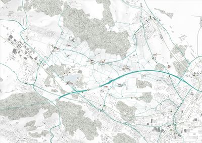
Various points of interest for visitors in the Katzensee area
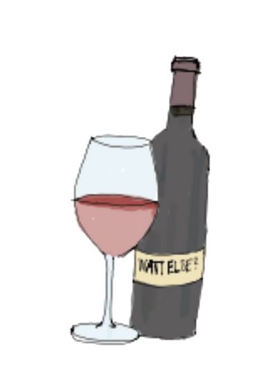
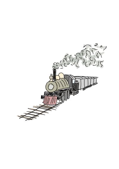
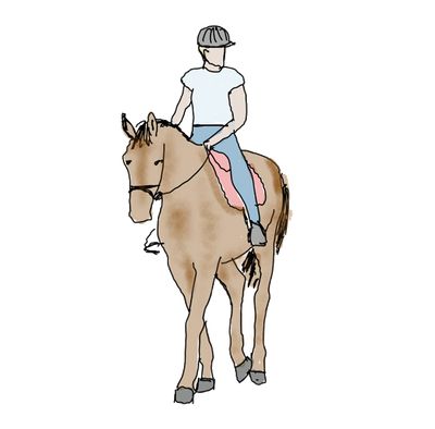
The area around the Katzensee is overused according to the nature conservationists. Spread over the site, there are a few restaurants, some horse stables, the Katzenseebadi but also a model steam railway.
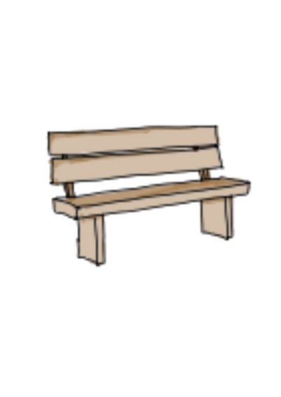
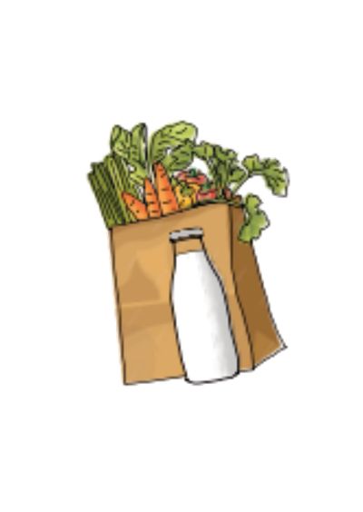
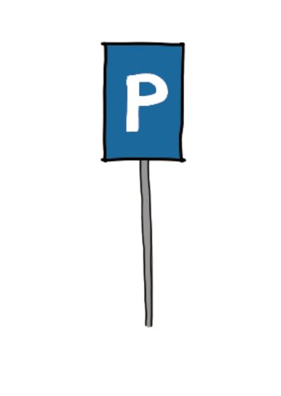
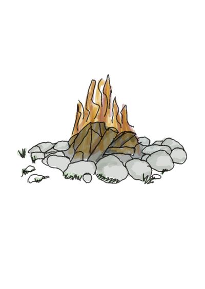
Other places which attract people include fireplaces for cosy summer evenings, seating areas that can be used during a nice walk, farm shops for locals and flower fields, often next to a car park or a busy road.
Voices of the Site
Important for the research was to find out who uses the area and for what. The used data was collected by walking through the area on different days and talking to the people.
The people that were interviewed differed in age, hometown and acitivities. For example, there are people using the bikepaths to commute to work by bike or e-bike. Others come from further away to enjoy the beautiful nature. Some walk their dogs or visit one of the many farmshops.
The interviews also showed, that there were different conflicts between the users. For example the farmer from Lindenhof explained that the bikers and hikers dont remember that most of the paths in the area were built for and by the agriculture. He wishes that people would respect that more and should not get angry if he drives on their bikepaths with his tractor.
To visualise the found data a potato plan after Patrick Abercrombie was created. The blobs visualising the built area and forests do not overlap each other. The blobs showing agriculture, nature preservation and recreation were added according to the research and experience on the site.
The created map shows two different areas. Around the Katzensee is the actively used part. Agriculture, leisure and nature protection overlap, which naturally also leads to more conflict.
Further in the east, the area is mainly used for agriculture. Leisure activities like biking or walking only happen in this area, to reach the area around the Katzensee. The only people that were seen in this area during the research, were farmers working on their fields. The use of this area also leads to fewer conflicts.
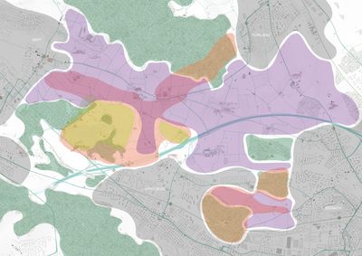
 Agriculture
 Settlement area
 Forest
 Leisure
 Nature protection
Narrative Cartography
Finally the research led to a new map, where the flows of movement and its density are represented by the green hatching. The darker the area and the denser the flows, the more conflicts are likely to happen with the growing population.
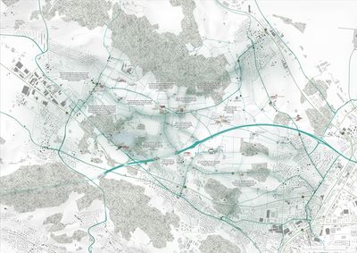

The area attracts many different users and groups of interest. There is often a lack of mutual understanding for the wishes and requirements of the other groups, which can sometimes lead to conflicts. These conflicts will likely not decrease in the coming
decades, but more likely increase due to the growing population in the surrounding areas.
How can the different needs of users be met without restricting farming or damage nature?
How can the recreation area be used in the future and who should use it?
How can one deal with the increasing users and what are the solutions to controll them?
What density of users can be tolerated for this area?


